Yellowstone NP - 6 Days Hiking Trip
2014-09-06
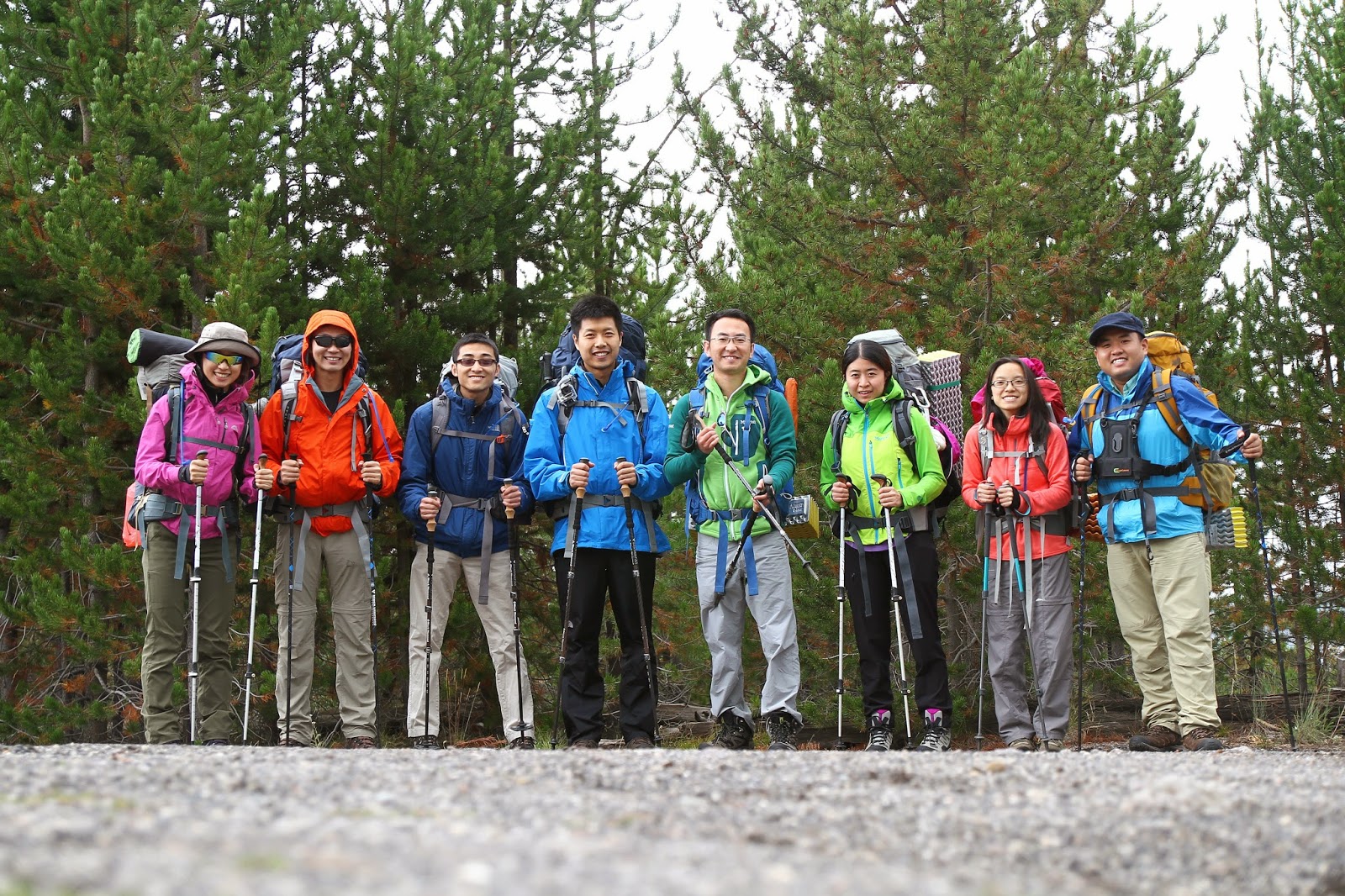
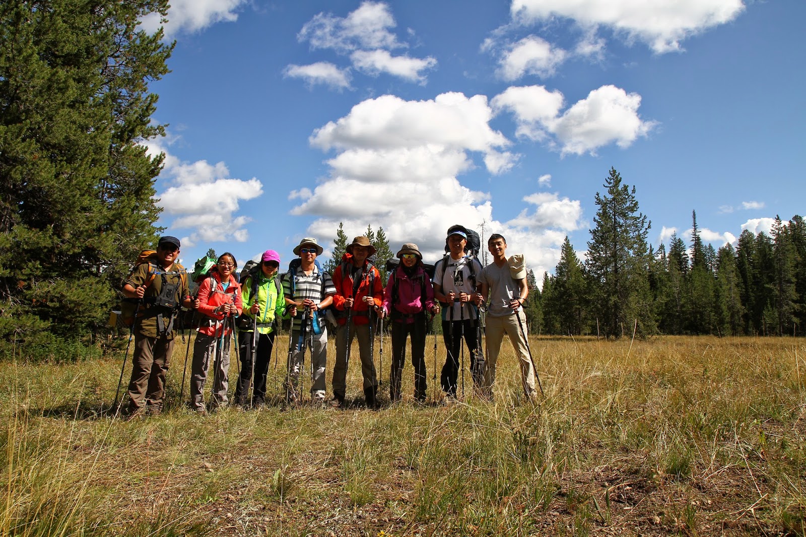
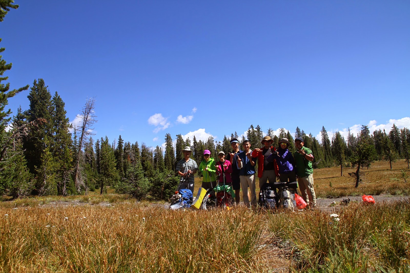
We(well, it is Alex alone actually) had been planning this trip to Yellowstone NP in late August since early March. Most of the backcountry campsite has limited capacity, holding up to 12 people per night, so we decided to book the camp sites before nailing down our route. It turned out to be a wise decision as we had made several changes of the plan due to lack of experience of long distance hiking for most of the team members.
We ended up doing a 6 days/5 nights hike, starting from the trailhead at old faithful area, OK2 Main Camp and heading south along Bechler River trail, one of the best backpacking adventures in Yellowstone. It is also one of the few sections of Yellowstone that escaped the fires of 1988, perhaps the only few mile hike that we took without walking through a burned landscape. After reaching Bechler Meadow we would hike up to Pitchstone Plateau which is about 8700 ft high at its peak, and from there we would take a easy 5 miles hike downhill to the road.
Day 1
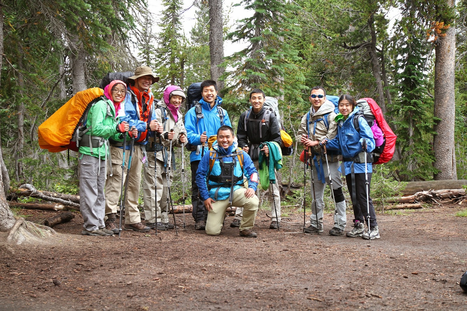
We got to the trailhead around 2:30 PM, which is way behind our schedule as we wasted our time getting gas for the stove and proper length (30 ft)cord for bear bag. As a consequence, we were in a rush to finish our first 9 miles hike before the sunset. It was the toughest day for Susie and me since we carried too much water/snacks (I had 2 pound of beef jerky!) and the last section of the trail to the camp has 500ft elevation. I can barely remember anything other than me breathing like a dog. And all the excitement like seeing a bison, getting close to the nature has gone at that moment. All I can remember was my legs were struggling to pull my body plus the 30 lb bag up against the gravity and my heart was almost beating out of my throat. Susie and I literally stopped every 10-20 steps as we hiked up. Luckily, we had Alex and Ronny for accompany, and with their spiritual support, we got to reach the campsite 9D4 around 9 PM (behind schedule again!). Reaching campsite after sunset is the first mistake we made. We completely missed the bar that supposed to hang our food bag. Instead, we used a tree that is high up there to hang our entire backpack. Due to the roughness, it took a lot of time and effort to just get the backpack up and down (more than 1hr in total), let along the time spent on throwing the rope and setting up the PCT. Our first night was not so pleasant, the fact that it was raining all the time made things worse. No wood fire was allowed at 9D4, we got to sleep right after dinner. It was a night of sleeping with the sound of rain.
Day 2
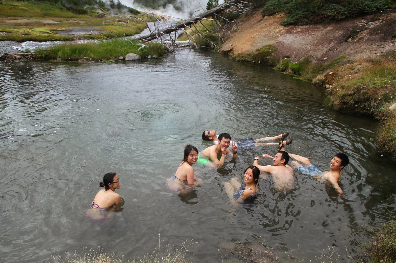
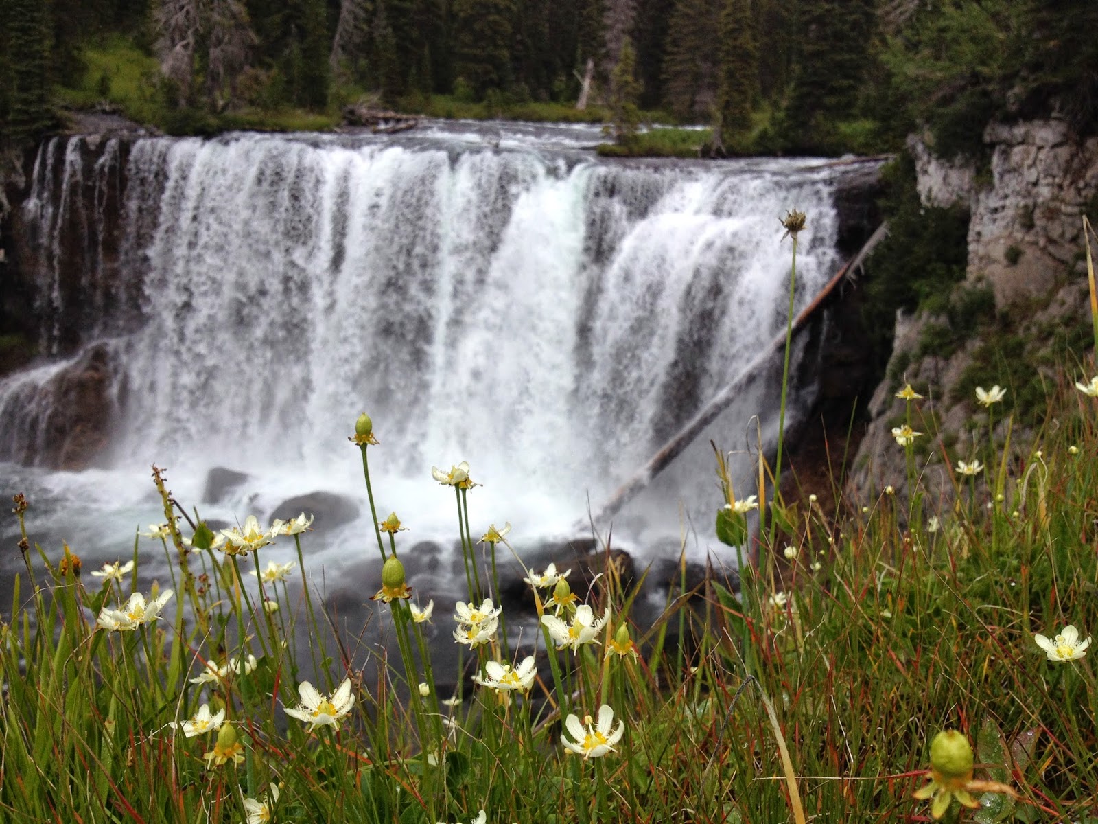
We woke up at around 8 AM in the morning; the weather forecast at the backcountry office suggested the possibility of SNOW! But it turned out to be pretty warm in the morning. We got to eat some oatmeal and hot chocolate before hitting the road again. It supposed to be a easy day, with 7-8miles hike from 9D4 to 9B6, passing Mr. Bubble hot spring (soaking accessible) and heading south along the Bechler River to the Becheler Meadows, mostly downhill. We passed some thermal areas; most of them are either hot spring or fumarole and reached Mr. Bubble at Three River Junction around 4PM (There is no direct sign for “Mr. Bubbleâ€, you need to follow the trail along Ferris Fork River). We quickly whipped off our hiking cloths, threw on bikini and ran into the water. The refreshingly cold water of the creek followed by the steaming hot pool is definitely a special hot spring experience.
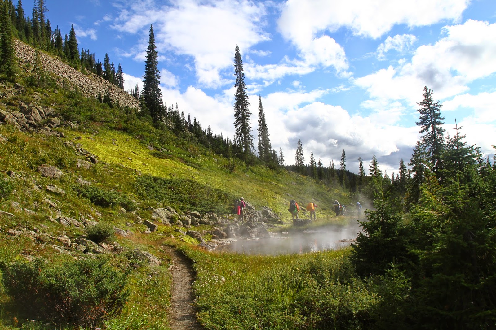
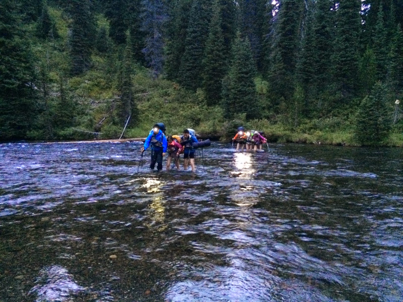
Our adventure continued down the Bechler River trail, and we soon realized that we probably should keep our bikini on for a while. We met a group of two, who were coming from the other side. They told us that there was a river ahead of us, and probably would take us an hour to ford. The first one was narrow and shallow stretched, a little above knee deep. We changed back to our swim suit/flip flop and sloshed through in a group of 3 to 4. It was a piece of cake. However, what we encountered later of the day revealed that this was just a “warm-upâ€, the harder part was yet to come. As we were 0.5 mile away from our campsite, we encountered the biggest crossing of the hike, where the Bechler was indeed a full-fledged river. While there was an orange marked nailed to a tree to direct hikers, standing on the bank of the Bechler and looking 40-50 feet across did not immediately instill confidence. We hesitated for a while, discussing the worst case scenario as it was close to dusk, not much time left for a risky crossing. Had Alex and Ronny volunteered to be the pathfinder, I might never been able to ford that river. I can still vividly remember how cold and swift the water is, and my toe went numb very quickly. The good part is, our campsite is less than 0.5 mile away after the crossing, and we were able to get there before dark. Campsite 9B6 allows wood fire, so we got the chance to dry our cloth/socks/suits and had a small party around the campfire.
Day 3
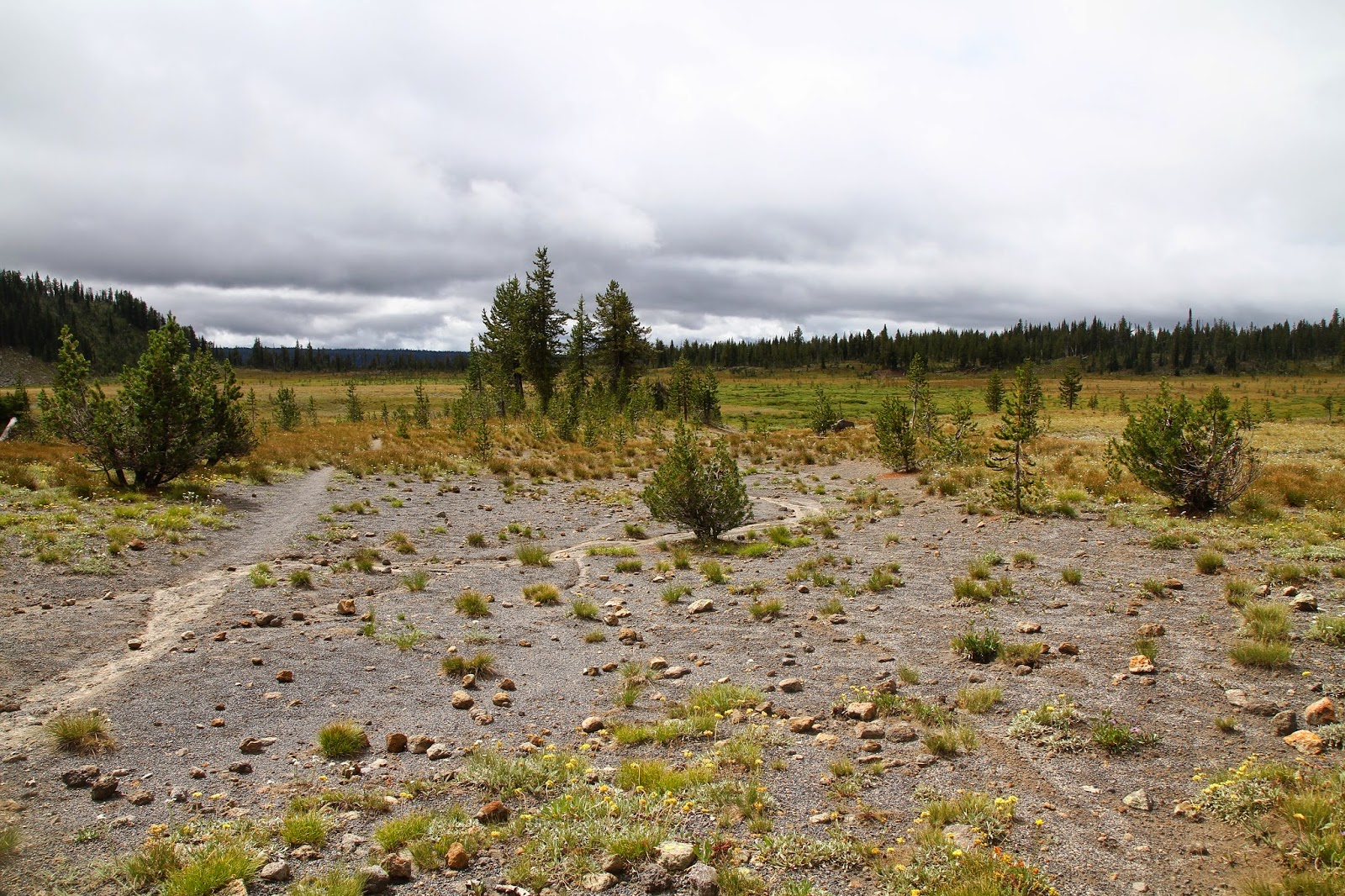
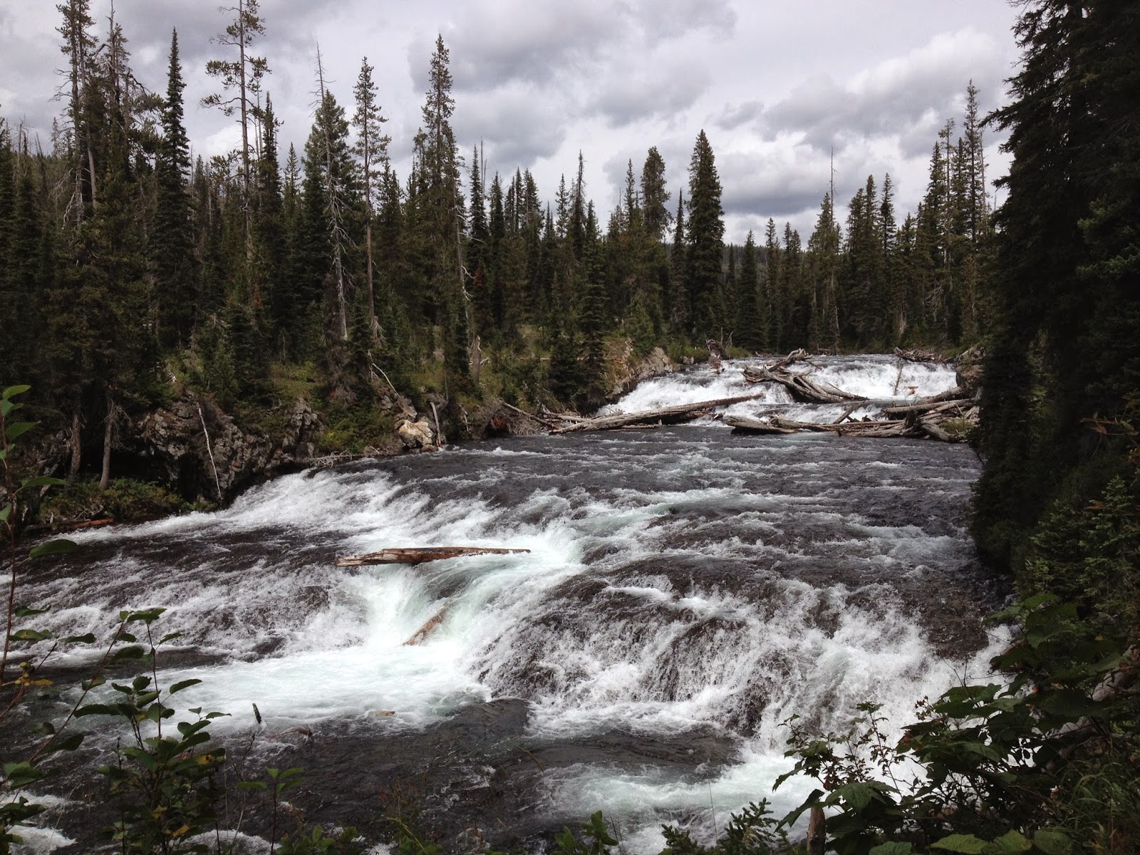
After one night at 9B6, we headed to the south. The landscape there is spectacular. We passed Cascades and Iris Falls and then head down to the Bechler Meadow. Once reached the meadow, the landscape opens up and the trails flatten out. The weather stayed cloudy most of the time, we tried to find some dead/dry pine as the tinder for the campfire along the way. Our campsite for this night was 9U1.
Day 4
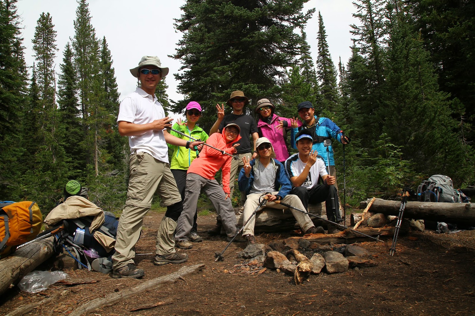
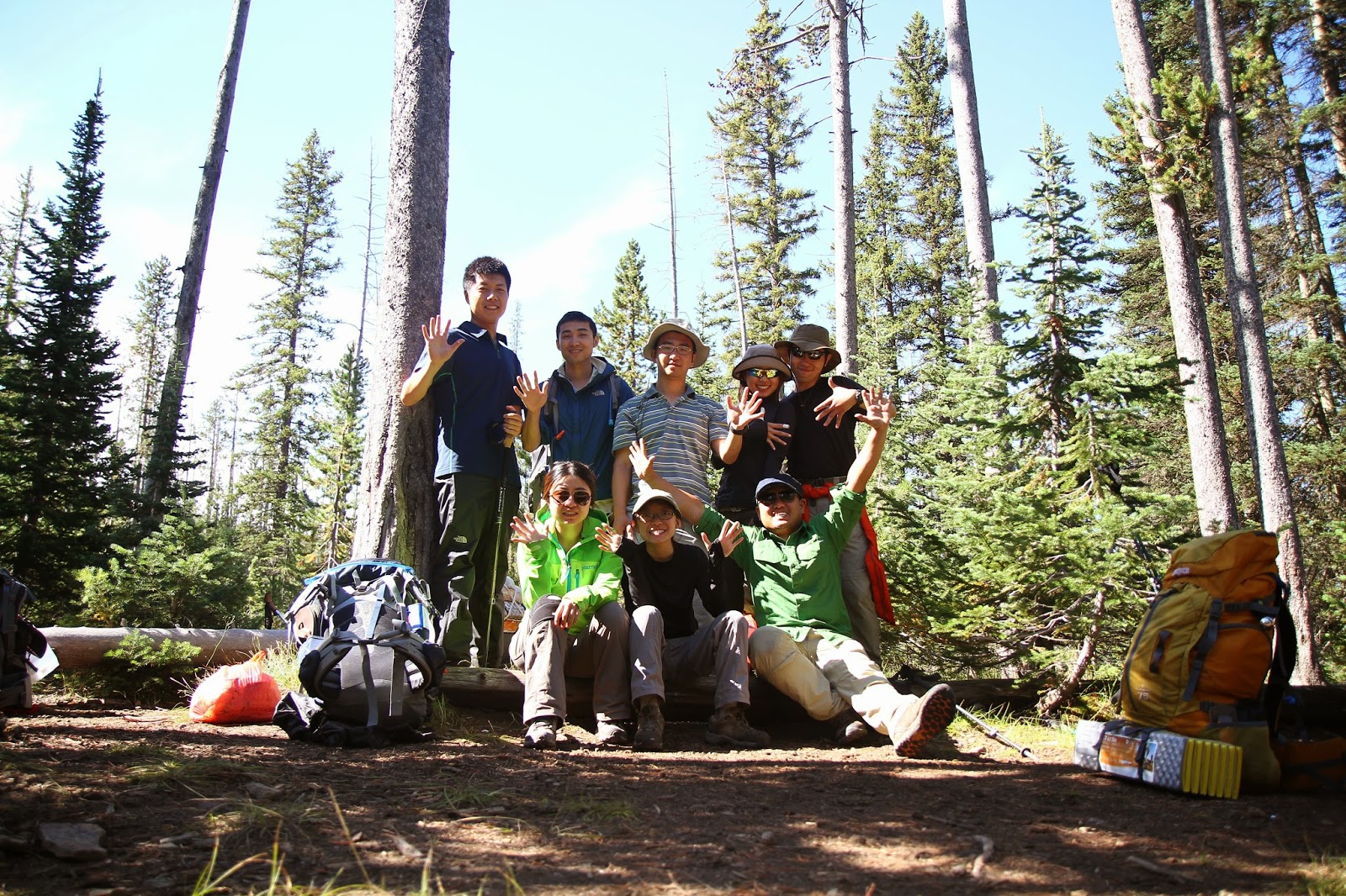
The forth day is an easy day, only 7 mils from 9U1 to 9F2. The trail became rocky, and many times weaves through vegetation, including raspberry bushes. We got to the campsite around 6 PM, 2 hours before the sunset. Had a really nice time at the campsite. And everyone was fully charged for the next coming big day.
Day 5
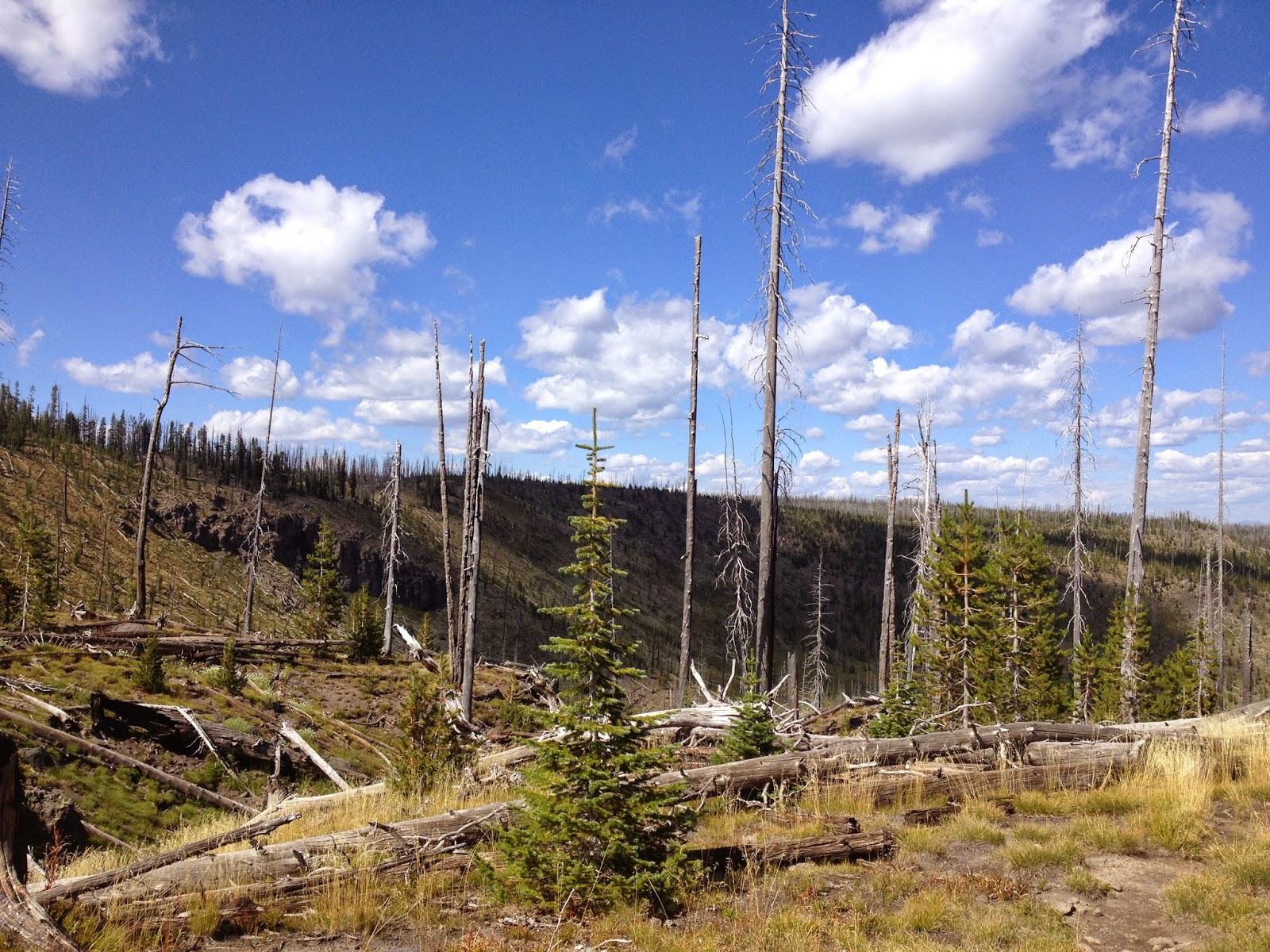
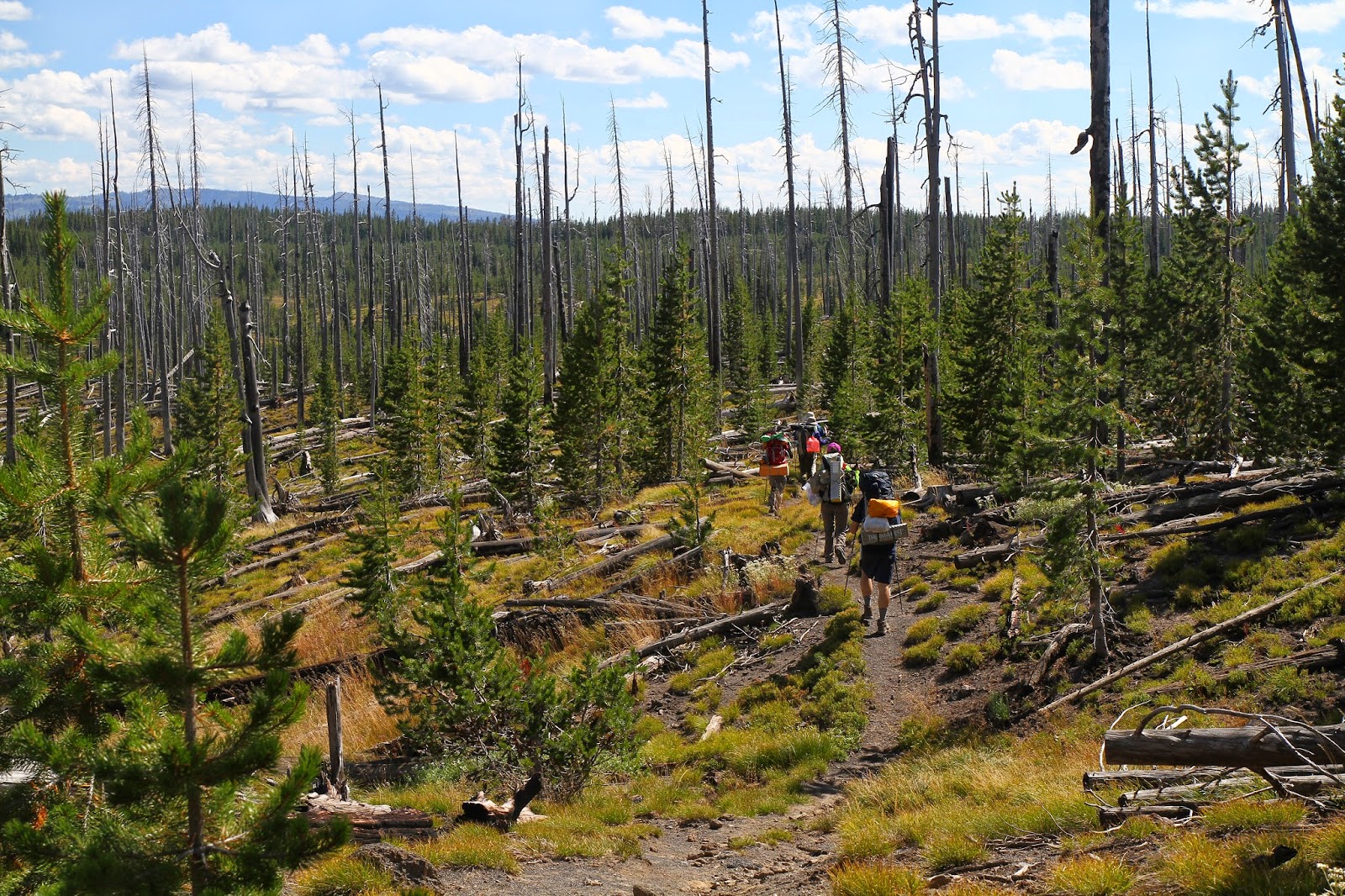
We got up a little early than previous days, at around 7. With a group of eight, it was almost impossible to take less than four hours before hitting the road (probably should reduce the time of drying the sleeping bag etc and leave that part on arrival at the campsite next time). After up and down hill for a bit, we got on to the Pitchstone Plateau trail. The landscape had a sharp turn as we passed the lodgepole forests burned during the 1988 wildfires (many of the new trees are 8 to 10 feet tall). We can no longer hear the roaring currents as we deviated from the river bank. The land became dry, and shade were hard to find. The trail became indistinct because many of the trees with orange mark have fallen to the ground. After walking for about a mile or two, we found ourself off trail, standing at the top of the hill aimlessly.
Luckily, the verizon reception was good at the top of the hill, we were able to load the trail map and re-direct ourself back to the trail. This detour turned out to be a shortcut which helps us safe about 2 miles of walk. Our nerves got relaxed after we returned to the trail, but it was still to early to celebrate, another 1000 ft uphill was waiting for us! Having experienced the 500 ft elevation at the first day, everyone in the team was mentally prepared for this climb. With a lighter bag, it was not as bad as we thought. But we were kind of slow in pace since we had to step over many downfall trees. Around 6PM we reached the 8700 ft peak of the pitchstone plateau. This high-altitude meadow is definitely gorgeous with a spectacular views in all directions, including the Grand Tetons off to the south.
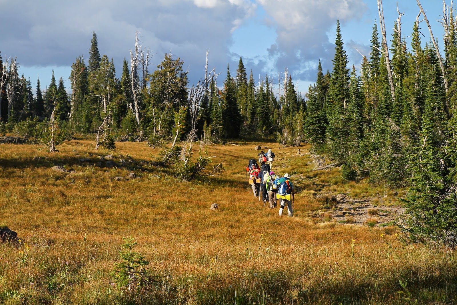
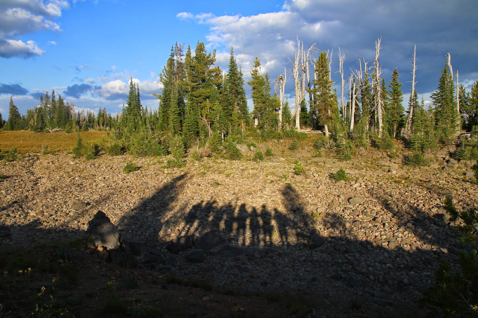
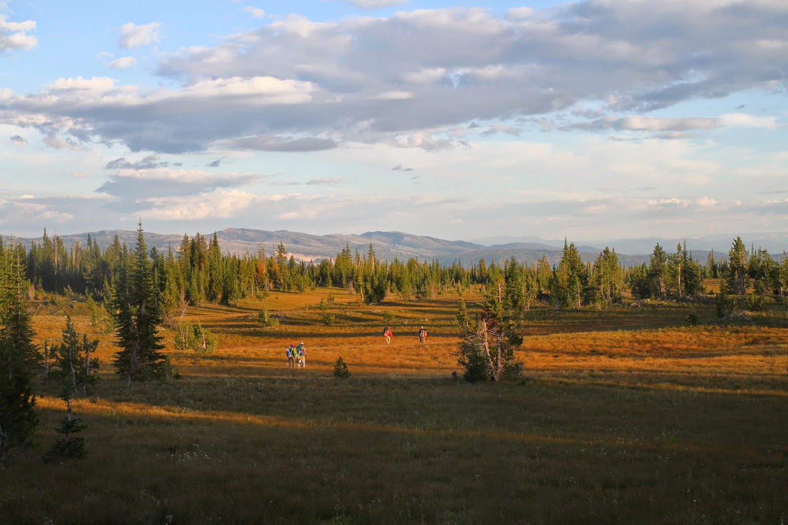
Everyone was so psyched that we spent about 45 min sitting on the ground, taking pictures. Should we knew that we still had a 5 mile hike ahead of us, and this section continues as chain of cairns which is hard to recognize in the darkness, we would not waste our time shooting fancy photos! With daylight waning, it gets harder to find the cairns, and the endless meadow showed its devil face. Looking back, the mistakes we made is not pacing ourselves well. We were too relaxing during the first half of the hike, leaving a tight schedule for the second half of the hike. We barely made it to the campsite before it gets dark. Our campsite, 8P2 is located at center of the meadow next to a small spring. It is large and open, quite different from all other campsite hidden in the forest. We set up the campfire, cooked some Chinese noodles and warm ourself by the fire before going to bed. It was a quiet night, perfect time and location for stargazing!
Day 6
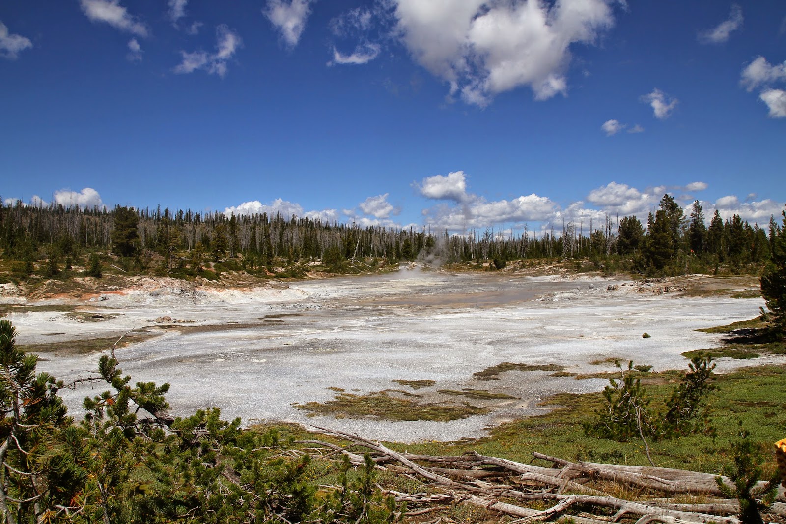
The last day of the journey is quite relaxing. Everyone was really just enjoying the last 5 miles of the hike. About one mile from the campsite, passing by a small lodgepole forest, the landscape suddenly opened up and there was the Phantom of Fumarole, a colorful and active mud pot that puts out lots of steam. After the fumarole, we hiked back to the timber for the rest of the section, and this section was heavily burned in 1988. Along the trail, Pitchstone was strewn everywhere. This glassy, black rock is the result of the recent volcanic flows in the area. After some mild descent, we reached the last 0.5 mile of steep downhill, during which you can hear the noise from the highway. And then, it was the END of our 6 days hiking trip!
Categories: Trip Report Tags: Wyoming Backpacking